
Goleta ZIP Code Directory Coverage
These five ZIP codes serve different postal functions around Goleta. The row for each code is a routing description, not a city-resident count. 93117 is the principal city ZIP but reaches beyond incorporated Goleta. 93116 is centered on PO boxes. 93111 and 93110 bring eastern and unincorporated Valley areas into a search, while 93199 is an institutional or unique code. Read the caution column before treating a postal match as a Goleta record.
| ZIP Code | Areas Covered | Post Office | Notes |
|---|---|---|---|
| 93117 | Goleta city, western Valley, Isla Vista, and adjacent areas | Goleta / Ellwood service | Standard city ZIP that extends outside the city |
| 93116 | Goleta grouping for PO boxes | Goleta grouping | Not a residential polygon |
| 93111 | Eastern and unincorporated Valley | "Goleta" PO at 130 S Patterson, Santa Barbara CA 93111 | Postal name does not establish city jurisdiction |
| 93110 | Eastern Valley and Santa Barbara | Goleta branch grouping | Broad Valley records, not normally the city |
| 93199 | Institutional or unique Ellwood area | Ellwood, 400 Storke Road | Not an ordinary residential ZIP |
Note: A postal code confirms delivery routing, while an APN and district result test the city boundary.
LAFCO warns that ZIP areas do not follow jurisdiction boundaries. USPS routing and municipal geography are separate systems, which is why a single Goleta ZIP code directory row can include addresses outside the City of Goleta. The post-office name can also differ from the mailing city printed on an address.
The research does not verify a ZIP split year or a city-only count. Log any code change as a postal event, not a Goleta annexation, and keep the original mailing line, USPS result, and parcel result together for later review.
93117 and Goleta City Lines
93117 is the most important warning in a Goleta ZIP code search. It serves the city, the western Valley, Isla Vista, and adjacent areas. Isla Vista uses 93117 but was excluded from Goleta incorporation. A name, phone, or address lead paired with 93117 therefore needs a second location check before it is labeled a Goleta resident.
Use the physical situs, the parcel map, and the city address or district result to test the city line. A postal record can be correct while the municipal label is wrong for the question being asked. The same caution applies to a local directory or business listing that adopts a familiar Goleta name for a wider service area.
Boundary check. ZIP 93117 is a delivery clue. It cannot establish that an address is inside incorporated Goleta or inside Santa Barbara County municipal jurisdiction.
Goleta PO Boxes in 93116
93116 is a PO-box grouping, not a neighborhood-shaped residential area. A 93116 entry can tell a searcher which postal group receives the mail, but it does not identify a situs parcel or show where the box holder lives. The mailing address may sit apart from a physical address, and a PO box can serve a person, organization, or business with no city-residence conclusion.
For a 93116 clue, preserve the full mailing line and ask what kind of record produced it. Then use the USPS ZIP Code lookup to verify the postal route, followed by an address or APN check when a physical parcel matters. No ZIP-wide Assessor or GIS filter was verified, so the code should narrow a question rather than replace parcel research.
The 93111 Goleta Postal Mismatch
93111 is a standard ZIP for the eastern and unincorporated Valley, yet the post office called “GOLETA” uses a street address at 130 S Patterson, Santa Barbara CA 93111. That pairing is a compact local geography lesson. A facility name, a mailing city, and a city boundary can describe separate layers without any one of them being false.
When a Goleta record carries 93111, check the street, physical situs, APN, and municipal district. Do not reject the record solely because the mailing city says Santa Barbara, and do not accept a Goleta label as proof of incorporation. Search old sources under Santa Barbara, Goleta, La Goleta, and La Patera when a historical address crosses postal vocabulary.
Finding Goleta Residents by ZIP Code
Finding residents by ZIP code requires a narrowing chain. The name-phone search widget can supply a starting name or phone lead, but it does not create a ZIP roster. USPS verifies the postal clue. The Assessor and permit systems then test the physical address or parcel. A voter file is not a general public ZIP list, and no verified assessor or GIS ZIP-wide filter was captured.
- Write down the full name, phone, mailing line, and source date without assuming that the ZIP equals the city.
- Run the address through the USPS lookup and keep the returned postal name separate from the municipal name.
- Use the Santa Barbara County Assessor parcel map with house number, street name, unit, APN, or map result as available.
- Check the Goleta permit portal for address, parcel, project, or license evidence, and use County Accela for older or unincorporated cases.
- Confirm the city district, situs, and APN before describing the result as a Goleta city record.
Once a ZIP has narrowed the work to a street, the Goleta by-street records workflow can take over. It is more precise to review parcels one at a time than to imply that a postal code lists everyone who lives there.
Goleta ZIP Search Fields and Limits
The captured fields below show what can be verified and what remains unknown. The Assessor form is address and parcel based. County Accela offers address, parcel-information, and permit-information modes. The active Goleta permit portal has address, parcel, case, and license functions, but its full dynamic result schema was not captured. USPS remains the right route for postal verification, not a claim about land or occupants.
| Route | Captured input | What it narrows | Limit |
|---|---|---|---|
| USPS ZIP lookup | Postal address or ZIP verification route | Mail routing and postal name | Exact field schema was not transcribed; no city-boundary result |
| Assessor parcel map | Parcel Number, House Number, Unit, Street Name, Sort Results By | Candidate parcel and map context | No verified ZIP-wide or public owner-name field |
| County Accela | Street-number range, direction, street name/type, city, state, segmented ZIP, country | County parcel and permit records | Older or unincorporated cases may need County follow-up |
| Goleta permit portal | Address, parcel, permit, license, case, or map route | City project and permit clues | Full active search and result fields were not captured |
That last column is part of a sound ZIP code directory. A missing filter is not permission to invent one. Keep a USPS result, an APN, and a permit or district record as separate links in the evidence chain.
Goleta Districts after a ZIP Match
City districts provide a better municipal check than a postal code alone. Goleta uses four address-based districts: Northeast and Fairview, Southeast and Old Town, Northwest and Winchester, and Southwest and Ellwood. The interactive address district map returns the district for a location. A district result can confirm a city-government geography after USPS verifies delivery, but it still does not produce a resident roster.
This distinction matters for Santa Barbara County records. A city permit, district contact, county parcel, and postal address can all describe the same place from different custodians. Record the source and its purpose. A ZIP is for routing, a district is for municipal geography, and an APN is the bridge to land records.
Goleta Situs, Mailing ZIP, and APN
A situs address is the physical location of a parcel. A mailing ZIP routes correspondence, and an owner mailing address may be a PO box or a different place. An APN, legal description, subdivision, or recorded map connects land records to the physical site. None of those terms means “everyone who lives there.” That separation keeps a ZIP code directory from overclaiming what a parcel or mailing record proves.
- ZIP versus ZIP+4
- A ZIP identifies a postal delivery area; ZIP+4 adds a more precise delivery segment, not a city or resident identity.
- PO-box ZIP
- A postal grouping for boxes that may not outline the place where a box holder lives.
- Unique ZIP
- A code assigned to an institutional or single-recipient delivery function, such as the 93199 Ellwood reference.
- Carrier route
- A delivery route layer used for mail service, not a public household or municipal boundary list.
Historic catalogs can add another layer. La Patera developed around Fairview and Hollister, while La Goleta developed around Patterson and Hollister; the La Goleta townsite was laid out in 1875. Search those names when an old record uses a valley or settlement label instead of present-day Goleta.
Goleta Chamber Listings by ZIP
The Goleta Chamber business directory can help identify businesses and public commercial contacts by area. It is not a resident directory. A listed company, officer, or service address may explain a name or place clue, but it does not show a household, a private member list, or a complete set of people in a ZIP.
The Chamber directory is useful as a reminder to keep business geography separate from resident geography.
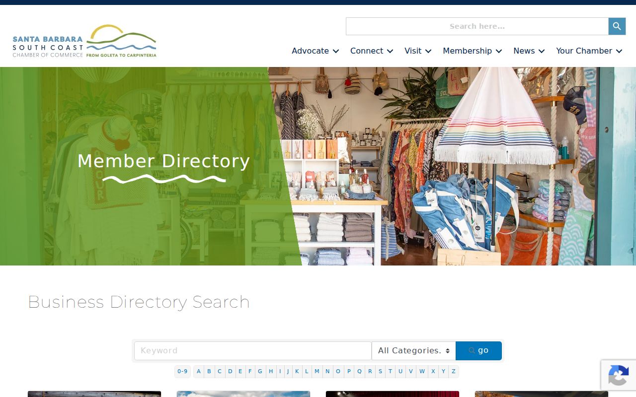
Business listings can support a civic or entity search. They cannot turn a postal area into a list of Goleta residents.
Goleta ZIP Statistics Need Caution
The Census QuickFacts page for the City of Goleta provides city-level context, not a count of residents in each postal ZIP. Census ZCTAs are statistical approximations and should not be turned into city ZIP counts. No verified city-only ZIP population, ZIP split year, or ZIP-wide assessor filter was found in the research.
Use a ZIP code directory for postal geography, then use a parcel, district, permit, voter-status, court, or historical source for the question that follows. The cleanest result may be that a ZIP is too broad, too narrow, PO-box based, or institution-specific to answer a resident question by itself.
Statistics caution. Do not convert a ZCTA, postal total, or broad Valley count into a count of people living inside Goleta city limits.